School Trip Area Choices


107271 - KS4 Low Ability [THIS DOCUMENT]
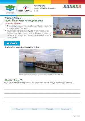
Students will learn about trade and why and how trade occurs. They will investigate the types of trade that go through Southampton Port, and will make direct observations of a wide variety of vessels on Southampton Water and The Solent to illustrate the range of economic activities and trade there. They will then investigate the origins and destinations of different vessels using Southampton Port and, by plotting this information on a world map, they will gain an understanding of trading links and partners.
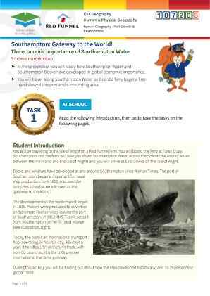
This is a geography resource which engages students with the environment of Southampton Water and The Solent, whilst on their Red Funnel ferry journey across to and/or from the Isle of Wight.
It includes pre-visit, on-site, and post-visit activities. This resource focuses mainly on the human geography of the area, specifically focusing on trade, and it leads students through understanding what trade is, and why and how trade takes place as background to the fieldwork. On board the ferry they then observe the different types of vessels using Southampton Water and the Solent, as evidence for the wide variety of trade taking place here. On their return to school, they then use the ABP (Associated British Ports) website to further investigate the origins and destinations of the vessels using the port, and thereby gain an understanding of the trading partners and trade links that exist between the UK and other parts of the world.
Students will learn what trade is, and some background detail as to why and how trade takes place. „ They will learn a little bit of background about Southampton Port and the types of trade that go through the port.
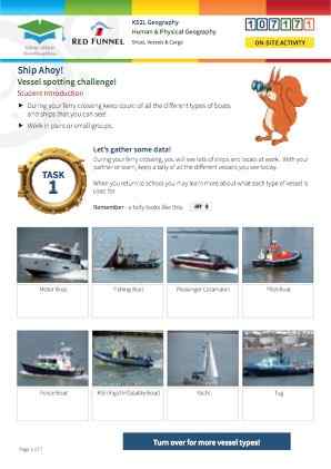
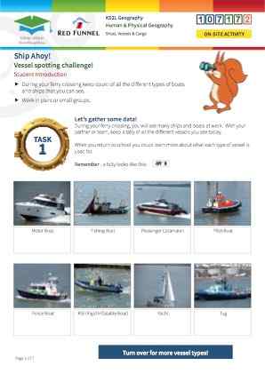
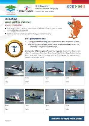
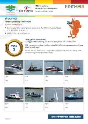
Students will see the types of vessels at the port, and travelling to and from it, in order to complete a tally chart.
Students conduct their own further research into the movements of vessels into, around and out of the port, and map their origins and destinations
Students will be able to define what trade is, and will be able to explain why trade takes place and the main ways in which traded good are transported. Students will know what types of trade/goods go through Southampton Port. Students will be able to name a wide variety of different types (and categories) of vessel, and have an understanding of what each type does. Students will conduct independent research to find out more about the movements of vessels into, around and out of Southampton Port, and will produce a detailed world map showing trading links/ partners with other parts of the world.
Times Viewed

Click to view sample
Full version available to booked clients
Click to download in full